Deadly tropical cyclone creates new island and lake in Indonesia
05/11/2021 / By Divina Ramirez
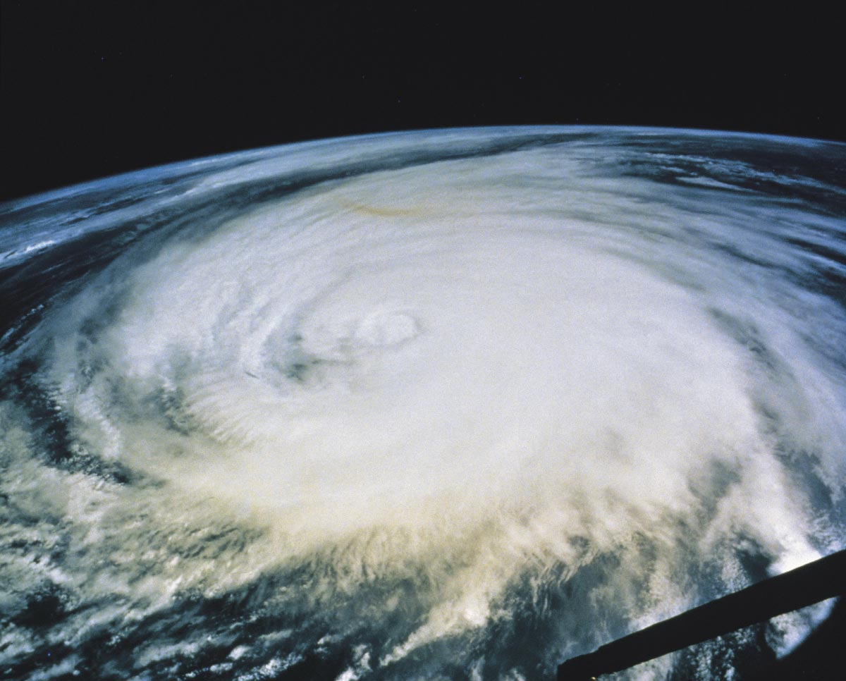
In the wake of a deadly tropical cyclone, Indonesians have found a new island and a new lake. Tropical cyclone Seroja brought heavy rains and flash floods to Indonesia and Timor-Leste early this month, killing over 100 people, leaving dozens still missing and rendering thousands homeless.
In the wake of the storm, Indonesians found what seemed to be a new island on Rote Island near Timor-Leste. They also found a new lake in Kupang City, the provincial capital of East Nusa Tenggara in southeast Indonesia.
The emergence of the new island puzzled geologists, some of whom surmised that strong waves and incredibly powerful currents brought about by the cyclone may have played a major role in its formation. Nonetheless, geologists will have to determine whether the new island appeared due to a gravel bank in the area or if a tidal wave had broken off a chunk of land from the mainland and carried it out into the sea.
Official sources said geological investigations are underway. The island, which was first spotted on April 5, will be named “Easter Island.”
Meanwhile, the new lake was first spotted “growing” in rural Maulafa District in Kupang City on April 5. Many residents fear a possible new disaster because of the increasing water level in the two-hectare lake, which seems to be expanding. The lake has already submerged farmlands, destroying corn and bean fields.
The new lake has also flooded some coconut plantations. Officials say the new lake is fed by many new springs, which they believe were also created by the tropical cyclone.
Because the new springs are not drying up, the lake is continuing to grow.
Officials have had to evacuate residents in some areas because of the lake. Others have had to leave because the springs have caused the very foundations of their homes to crack. Residents haven’t experienced anything like it.
Seroja went on to make landfall a week later in Western Australia as a category three storm. It wreaked havoc on coastal towns, damaged power lines and buildings and uprooted trees. It has since weakened and moved offshore.
Earthquake in Pakistan creates mud island
New islands forming following disasters aren’t unheard of. In 2013, a magnitude 7.7 earthquake struck south-central Pakistan and killed at least 300 people. The earthquake also left a mud island in its wake. (Related: Surviving natural disasters: Earthquake and tsunami scenarios.)
Experts said the earthquake was caused by the movement of the Earth on a fault in the crust at a relatively shallow depth, around 15 kilometers below the surface. The earthquake shook offshore sediments to the south of Pakistan, many of which were mud and sand rich in the rotted remains of dead sea plants and animals.
When the sediments were shaken up, they erupted in a mud volcano. Experts also said methane from the decomposing sea life helped bring up the mud and sand to the surface, hence the island of mud.
Bill Barnhart, a geologist at the United States Geological Survey who studied earthquakes in Iran and Pakistan, said the island was really just a big pile of mud from the seafloor that got pushed up. Back then, he added that the life of the island was likely to be short.
Back in 2013, the mud island, named Zalzala Koh, was 20 meters (m) high, 90 m wide and 40 m long. Its foundation was also primarily made of loose sand, soft clay and mud. Barnhart said islands typically last a few months to a year before sinking below the waterline because waves and tides can erode their foundations.
And Barnhart was right. By the end of 2016, satellite imagery indicated that the Arabian Sea was washing over the tiny island at high tide. But this may be for the best since mud volcanoes and islands are a hazard to marine navigation.
Visit Environ.news to learn more about how natural disasters form new islands.
Sources include:
Tagged Under: Indonesia, islands, lakes, natural disasters, Seroja, storm, tropical cyclone
RECENT NEWS & ARTICLES
COPYRIGHT © 2017 CLIMATE SCIENCE NEWS

